Unlocking Value and Cost Savings with Aerial Drones for Photogrammetry
Unlocking Value and Cost Savings with Aerial Drones for Photogrammetry
In recent years, the use of aerial drones for photogrammetry has revolutionized various industries, offering unprecedented value and cost savings. By leveraging advanced drone technology, businesses can achieve high-precision mapping and 3D modeling at a fraction of the cost of traditional methods.
Enhanced Efficiency and Speed
Aerial drones can cover large areas quickly, significantly reducing the time required for data collection. This efficiency translates to faster project completion and the ability to handle multiple projects simultaneously.
Cost-Effective Data Collection
Traditional aerial photogrammetry often involves expensive aircraft and extensive crew. Drones, on the other hand, are relatively inexpensive to operate and maintain. This cost-effectiveness makes aerial photogrammetry accessible to a wider range of businesses, from small startups to large corporations. For example, a study found that using drones for surveying can reduce costs by up to 60% compared to traditional methods.
Improved Data Quality and Resolution
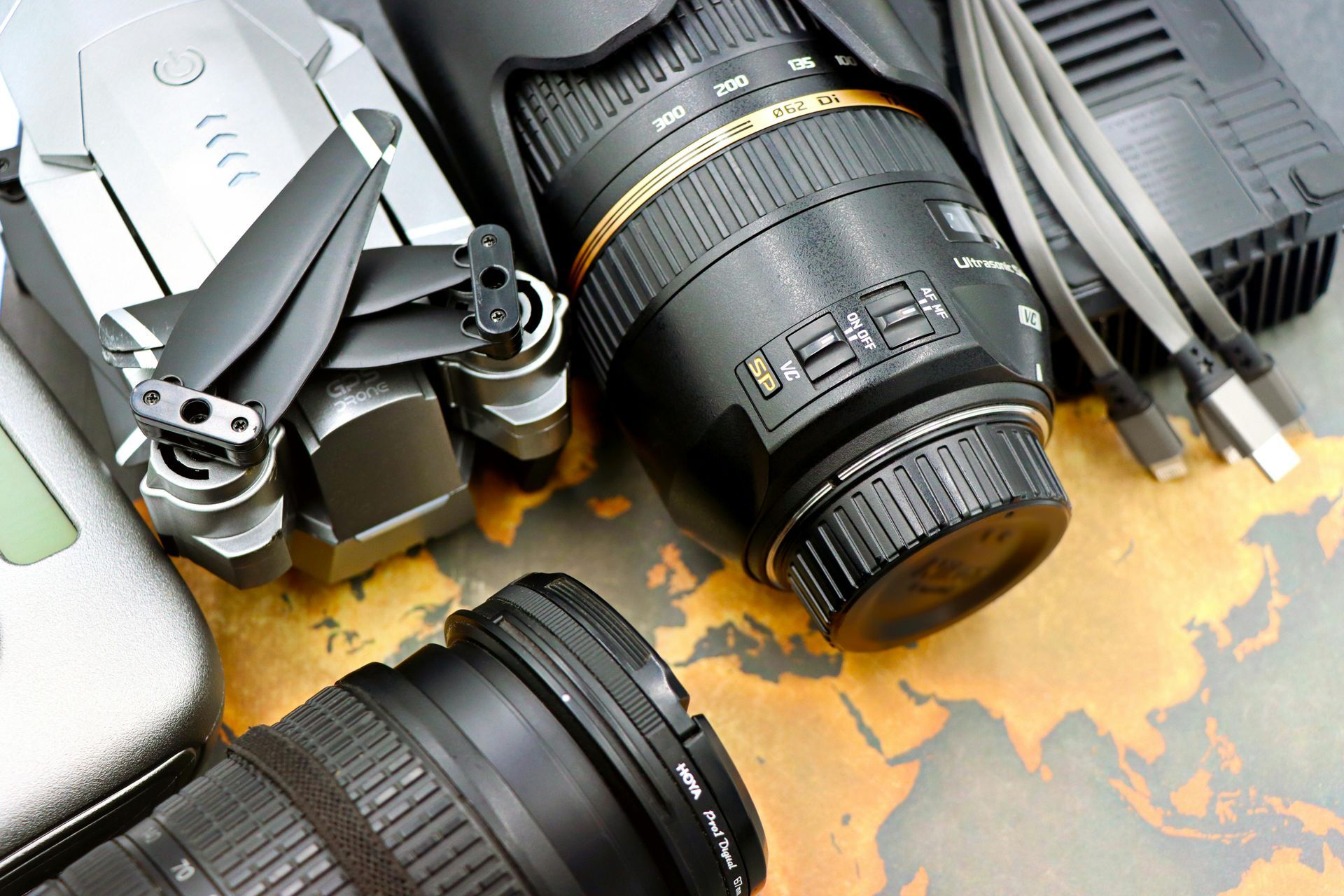
Modern drones are equipped with high-resolution cameras and advanced sensors, capturing detailed and accurate data. This high-quality data is crucial for applications such as urban planning, agriculture, and environmental monitoring, where precision is paramount.
Reduced Environmental Impact
Using drones for aerial photogrammetry minimizes the environmental footprint compared to traditional methods. Drones produce fewer emissions and require less ground disturbance, making them a more sustainable option for data collection.
Versatility Across Industries
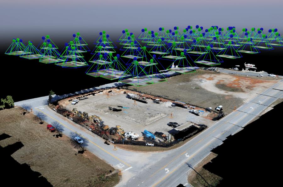
From construction and mining to agriculture and disaster response, drones offer versatile solutions for various industries. Their ability to access difficult-to-reach areas and provide real-time data enhances decision-making and operational efficiency.
Case Studies and Success Stories
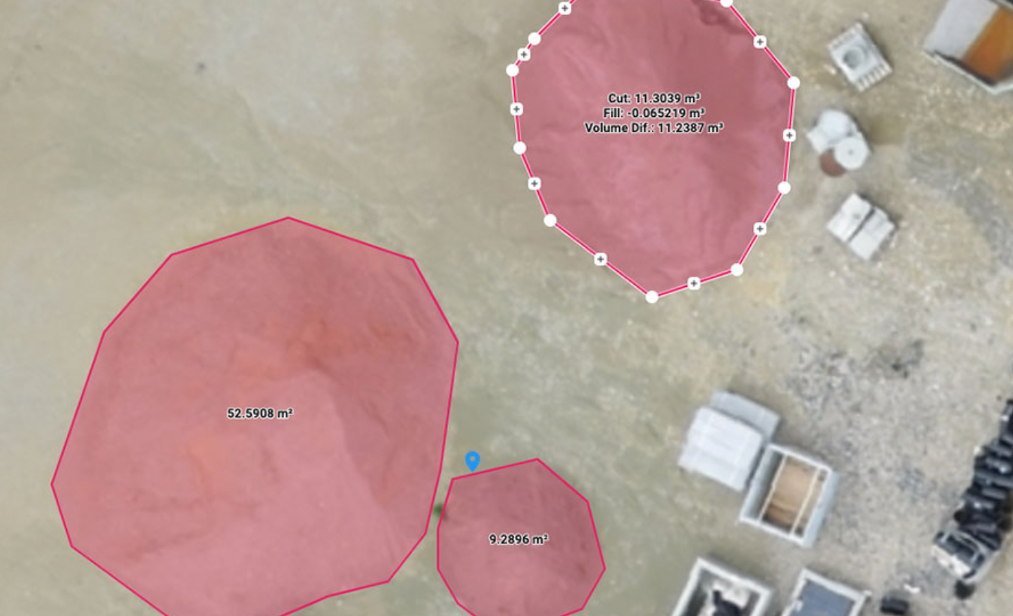
Numerous case studies highlight the value and cost savings associated with drone photogrammetry. For instance, construction companies have used drones to monitor project progress and detect potential issues early, saving time and money. Agricultural businesses have utilized drones for crop monitoring and yield prediction, optimizing resource allocation and increasing profitability. In one case, a construction company reported a 30% reduction in project costs by using drones for site surveys and progress monitoring.
In conclusion, the integration of aerial drones into photogrammetry workflows presents a game-changing opportunity for businesses to achieve greater value and cost savings. By embracing this innovative technology, companies can enhance their operational efficiency, improve data quality, and contribute to a more sustainable future.
Drone Logic Aerial Insights