SERVICES

Transforming Industries with Comprehensive Aerial Drone Solutions

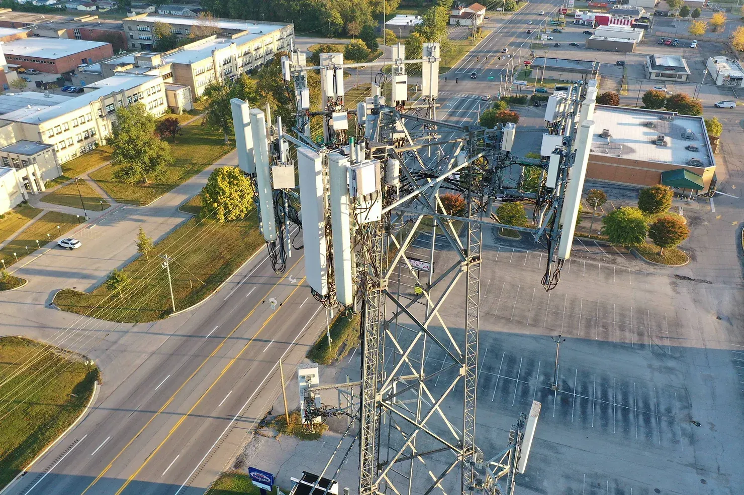
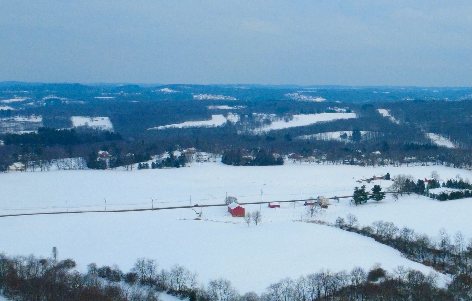
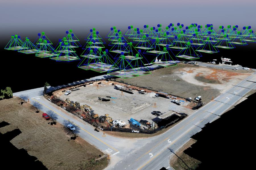
Aerial Mapping and Photogrammetry

Drone Logic aerial photogrammetry services offer a comprehensive solution for capturing and processing aerial data. We utilize RTK and PPK technology, that ensures high accuracy in mapping. The services are versatile, allowing for the capture of high-resolution images, videos, and 360-degree panoramas. Efficient processing tools convert this imagery into detailed 2D maps, 3D models, and orthomosaics. AI integration aids in automated tasks such as counting and identification. The platform we use supports various commercial drones and is user-friendly with a mobile app. Collaboration is made easy with sharing options and integration with other tech platforms. Additionally, it supports docked drones for scheduled flights and automatic data upload, further enhancing automation.

Construction Site Monitoring

Drone technology has made impressive strides in the last few years and the construction sector has taken notice. Affordable survey-grade drones are making business digitization accessible to contractors of all sizes and getting the right information from the field is no more the most frustrating part of a construction worker’s job.


Drone Logic provides construction companies with accurate site data in significantly less time and at a lower cost than traditional options. Innovative firms are leveraging drones to increase efficiency, inject transparency into operations, and reduce safety risks to workers.


Construction site drones can boost efficiencyby creating 3D models of assets and monitoring them remotely while increaseing safety.

Telecommunications and Utilities Inspections 

Drone Logic can play a crucial role in telecommunications and utilities by enhancing the efficiency and safety of various tasks. For tower and antenna inspections, drones equipped with high-resolution cameras and sensors can perform detailed inspections from all angles, identifying issues such as structural damage or corrosion without the need for human climbers. This reduces risks and improves safety. Drones also conduct routine maintenance checks and safety assessments by detecting potential hazards using thermal imaging and other sensors, enabling proactive maintenance and enhancing overall safety.


In network planning and site surveys, drones provide accurate topographical data and high-resolution imagery, covering large areas quickly and capturing essential information for optimal network coverage. Additionally, drones monitor and document infrastructure by accessing hard-to-reach areas and providing real-time data on the condition of bridges, power lines, and other critical infrastructure. This ensures timely maintenance and repairs, contributing to the uninterrupted operation of essential services. By leveraging drone technology, telecommunications companies and utilities can reduce costs, enhance safety, and improve the accuracy and efficiency of their operations.

Real Estate and Property Management

Aerial drones are transforming real estate and property management by offering efficient and cost-effective solutions for various tasks. For property surveys and boundary mapping, drones capture high-resolution aerial images and generate accurate topographical maps, ensuring precise documentation and aiding in resolving disputes. In marketing, drones provide stunning aerial photographs and videos that showcase properties from unique perspectives, attracting potential buyers or tenants with dynamic and engaging visuals. When it comes to roof and structural inspections, drones equipped with advanced cameras can inspect roofs and structures without physical access, identifying issues like leaks, damage, or structural weaknesses, allowing for timely repairs and maintenance.


Additionally, drones facilitate asset management and maintenance planning by regularly monitoring properties, identifying maintenance needs, and planning repairs efficiently. This helps property managers keep track of large portfolios, ensuring all assets are well-maintained and compliant with regulations. By leveraging drone technology, real estate professionals and property managers can enhance accuracy, safety, and efficiency in their operations.

Providers We Trust.


Share by: