Advanced Aerial Imaging Services
At Drone Logic, we leverage state-of-the-art drone technology and photogrammetry techniques to deliver unparalleled aerial imaging services. Our high-resolution imaging capabilities cater to a variety of industries, including construction, surveying, and infrastructure inspections. By utilizing advanced sensors and imaging software, we capture detailed data from hard-to-reach areas, ensuring safety and compliance while significantly reducing operational costs and time.
Revolutionizing Aerial Data Capture

Advanced Drone Technology
Our DJI and Freefly drones are equipped with state-of-the-art sensors and cameras that capture high-resolution images from various altitudes, ensuring detailed and accurate data collection for any project.

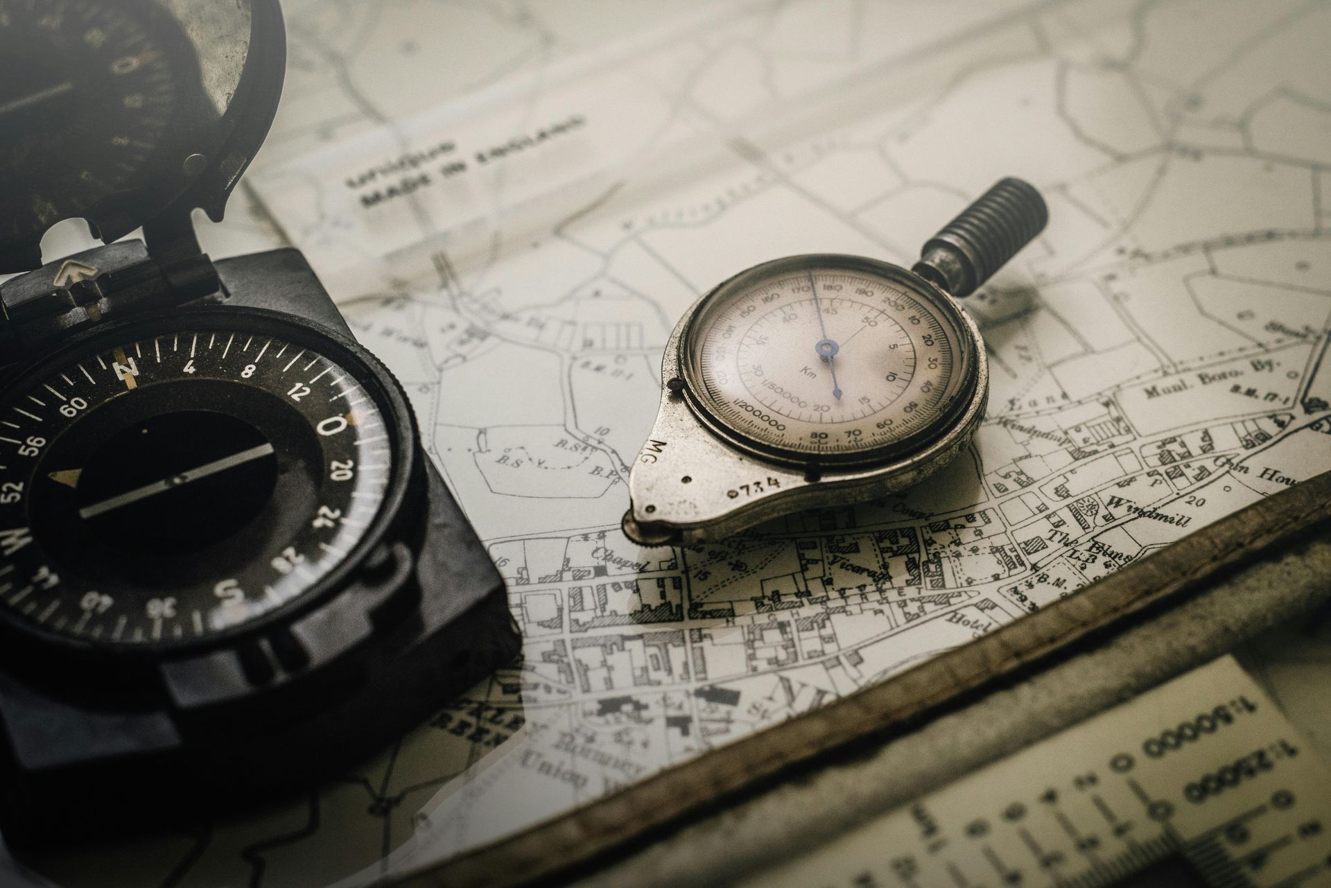
Precision Photogrammetry Techniques
Utilizing advanced photogrammetry techniques, we transform aerial images into precise 3D models and maps, providing invaluable insights for surveying and mapping applications.

High-Resolution Imaging
Our imaging technology allows for the capture of high-resolution images that reveal intricate details, making it ideal for inspections, construction monitoring, and more.
Comprehensive Data Capture
We combine drone technology with photogrammetry to deliver comprehensive data capture solutions that enhance decision-making and project planning.
Frequently Asked Questions about Drone Technology
At Drone Logic, we understand that potential clients may have questions about our advanced drone technology and its applications. Below, we address some common inquiries to help you better understand how our services can benefit your projects.
What types of data can drones capture?
 Drones can capture a variety of data types, including high-resolution images, 3D models, thermal imaging, and topographical maps. This versatility makes them ideal for applications in mapping, surveying, and infrastructure inspections.Learn More
How accurate is the data collected by drones?
 The data collected by drones is highly accurate, often within a few centimeters. Our advanced photogrammetry techniques ensure that the images and data we provide meet the highest standards of precision, making them reliable for critical decision-making.Discover Our Technology
What industries can benefit from drone services?
 Drones are beneficial across various industries, including construction, agriculture, real estate, and environmental monitoring. They provide efficient solutions for mapping, surveying, and inspections, helping businesses save time and reduce costs.Explore Our Applications
Efficiency and Cost Savings of Aerial Imaging
Drone Logic's aerial imaging services not only enhance operational efficiency but also deliver significant cost savings across various industries. Our advanced drone technology and photogrammetry techniques allow for rapid data collection and analysis, minimizing the time and resources typically required for traditional surveying methods.
Reduction in time spent on site inspections compared to conventional methods, allowing for quicker project turnaround.
Average cost savings per project by utilizing drone imaging, eliminating the need for extensive manual labor and equipment.
97%
Accuracy rate of data collected through our aerial imaging services, ensuring reliable results for mapping and surveying.
Decrease in safety risks associated with manual inspections in hard-to-reach areas, promoting a safer working environment for teams.
Get in Touch
Contact Us for Your Aerial Imaging Needs
Ready to elevate your project with our advanced aerial imaging services? Whether you have questions about our technology, need a quote, or want to discuss how we can assist you in mapping, surveying, or inspections, we’re here to help. Reach out to our team today, and let’s explore how Drone Logic can provide the solutions you need. Fill out the form below or give us a call to get started!